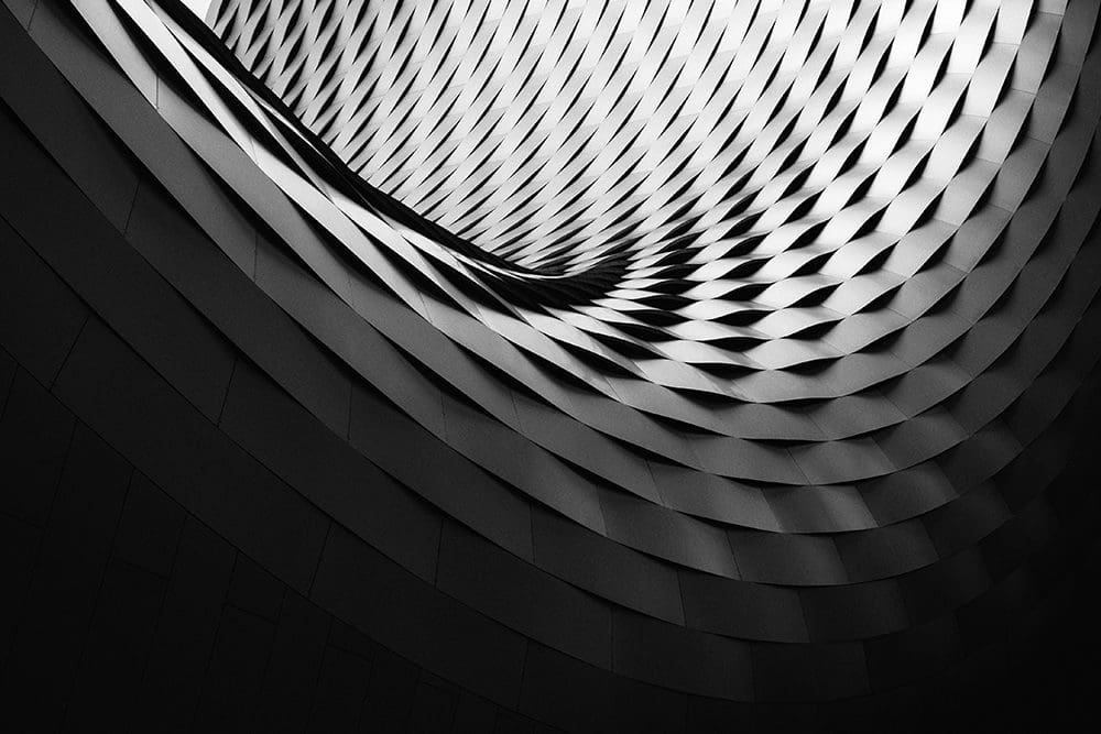
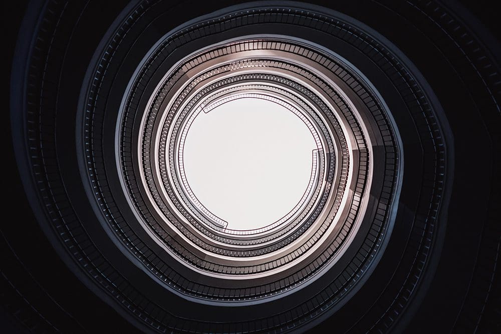
A great architect demands excellence. So too should an architect’s visual portfolio. To achieve this architectural photography should always have a clear design that depicts the small details and facets of a build. Composition, form, texture and light must all form part of a photographer’s approach to obtain images that showcase the architectural photography.
There are many ways to take an architectural photo, but every way combines some key ingredients to ensure a recipe of success. Some of the science which goes into a shoot can be unseen. However, as we explain, every process and piece of equipment is imperative in obtaining the best shots.
The Process of Understanding an Architect’s Brief
The first step and most critical to understanding what the architect wishes to convey in their portfolio of a building is the planning stage. It’s the photographer’s job to take a series of photos of the land or proposed building space. Each picture has a planned angle and distance from the ground so that the architect can superimpose and overlay the building design over the photograph.
These photographs form an essential part of developing the hopefully winning design to local council or government. These images are also shared through to the broader industry and further for community consultation. The process is quite extensive and elaborate, however with practical communication skills and experience it is seamless execution when conducted by a professional team.

Taking Photos From the Ground
Using specialist equipment, including tilt-shift lenses and professional camera equipment the photographer can explore every angle of the building. This is to ensure images reflect the exact design from drafting through to construction and delivery. Preferred cameras include professional high-end cameras that offer a full dynamic range of light, ensuring shadow and highlight details are present.
Using Drones to Take Photos and Video
Drones fly during the initial surveying and building stages. Using a licensed pilot, these sophisticated pieces of technology can take both stills and videos. Having a unique birds-eye view of the scene is worth its weight in gold. This is certainly true for the housing marketing.
The advantage of an experienced, accredited pilot in this situation over a beginner is like chalk and cheese. A licensed operator, like Visionair, can expertly fly into a confined space or even operate in restricted zones utilising special licences. Whatever the location or situation is having the expert knowledge and skill always outperforms the general public and inexperienced flyer.
Aerial Surveys and Mapping
As the production is underway translating the science behind architectural photography is paramount when communicating with the chief architect. At Visionair for instance, our team of specialists can calculate distance and mass from a single orthomosaic image. We can do this as all of our pictures are void of geometric distortion. This valuable information is then sent in real time back to the architect or team for analysis. The process is efficient and keeps the build on a budget. Key people receive information quickly so they can make important decisions without having to waste time on site.
Creation of 3D Models
Similar to the collection of aerial mapping, professional pilots are capable of generating 3D models from pre-planned drone flights. All flight data has GPS embedded so a pilot can replicate a flight path at any time to maintain a maintenance schedule. These highly detailed 3D building models are also useful for marketing to potential buyers.
The Final Portfolio Images
After the construction signs, rubble and scaffolding go the photographer takes the final photographs. These photographers are a mixture of images taken from the ground and air. Often the photos go through a process to ensure the architect receives the best colour and quality to reflect the high-end design of the building.